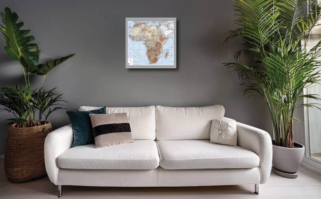
Historic Africa maps

High quality custom wall art

High resolution historical maps of Africa

This unique series of maps was created by Jaro Consultancy by combining features and labels from original historical maps with a customised modern Digital Terrain Model in a GIS. They are available as printed unframed wall maps. Each map is 60 cm wide by 60 cm high. They are high-resolution images printed on high quality gloss paper.

Africa in 1886

Tap/click to see more details
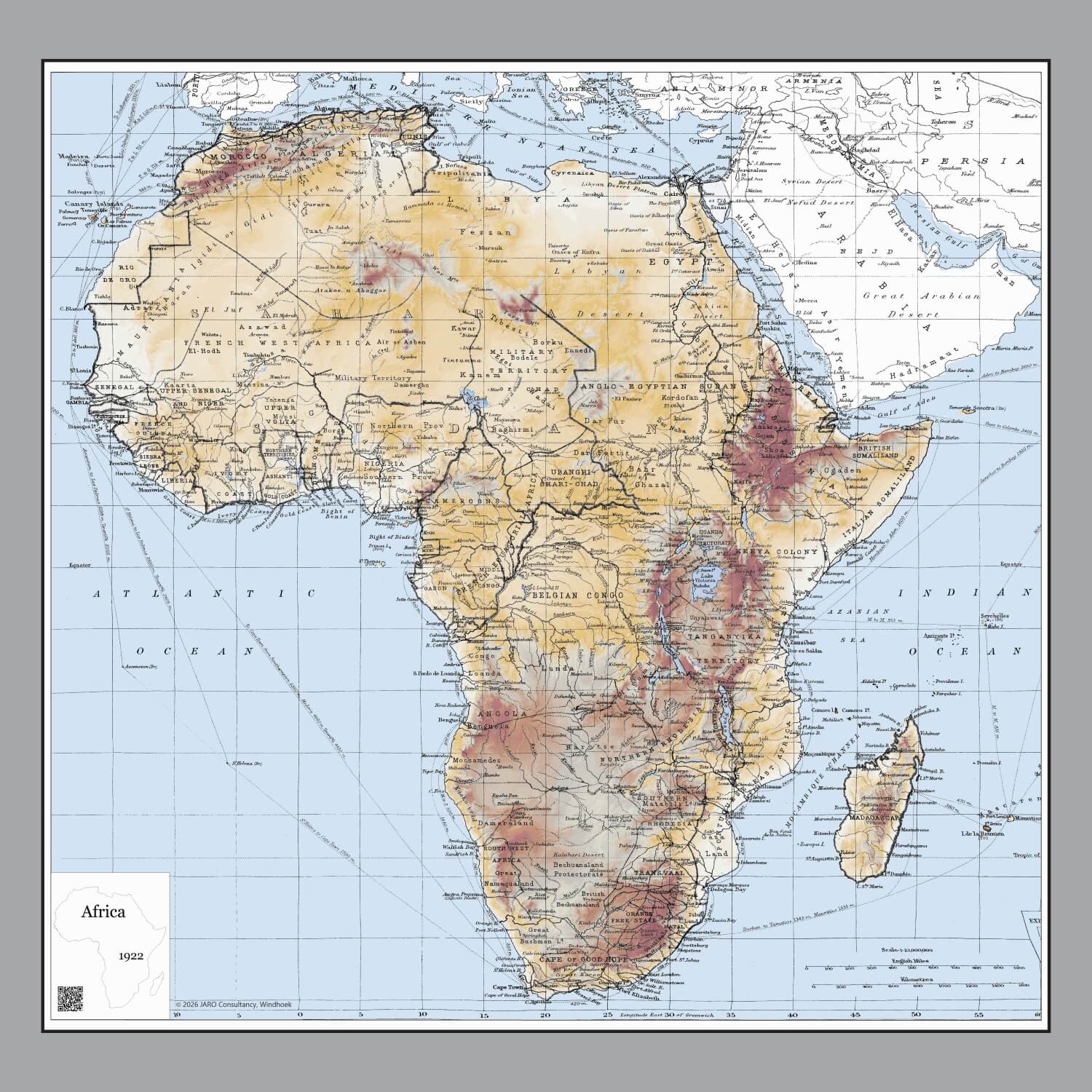
Africa in 1922

Tap/click to see more details

Africa in 1967

Tap/click to see more details

Scroll to Top