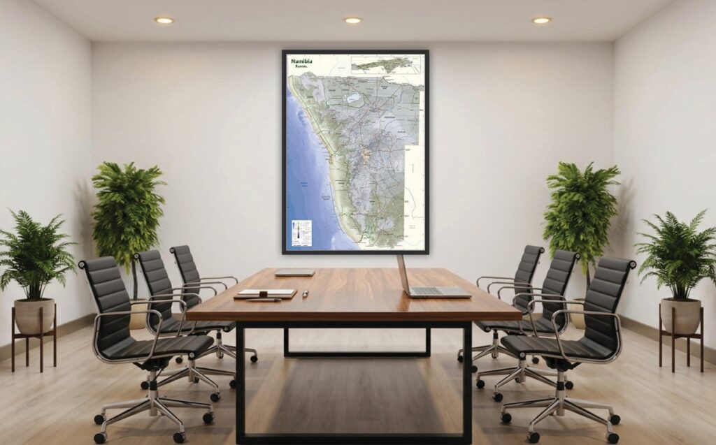
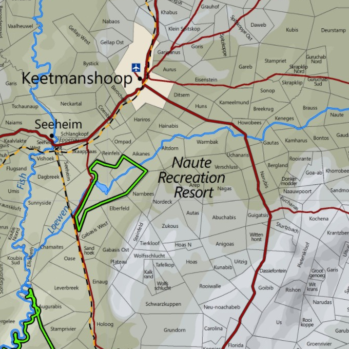
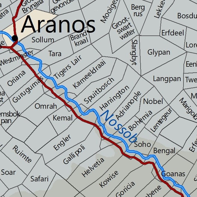
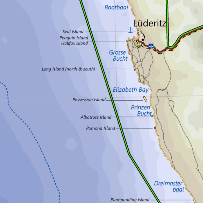
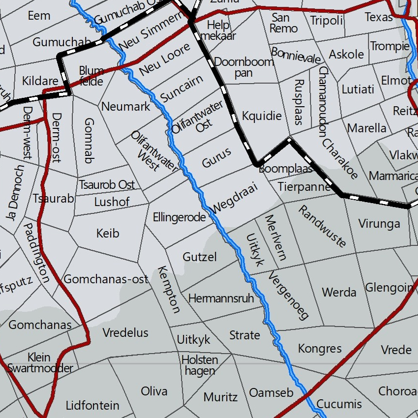
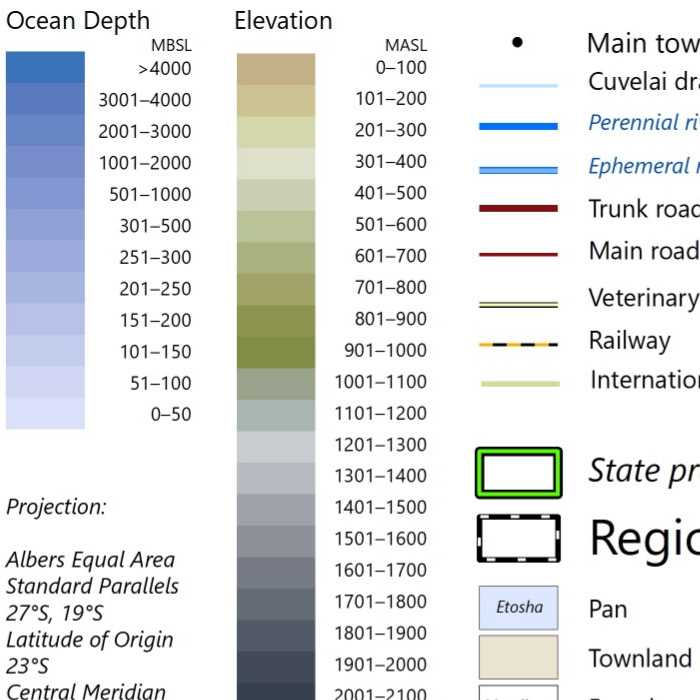
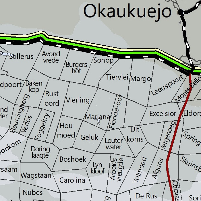
A contemporary map of Namibia showing farm boundaries and names, and including elevation, roads, towns, regions, parks, rivers, islands and more. The map scale is 1 : 1.25 million (i.e. 1 cm represents 12.5 km).
Available as an unframed poster printed on high quality photo paper. Laminated or unlaminated. A0 size (84 x 119 cm).