Available to buy
Namibia. Why? Wow! Where? book
See full details here.
If travel raises questions for you — why Namibia is so dry, where its diamonds come from, why so few people live here, why the coast is often foggy, why the country has such a strange shape — this book is for you. It is a compact, richly illustrated introduction to one of Africa’s most remarkable countries.
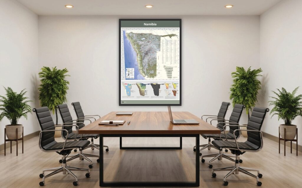
1 : 2,000,000 topographic map of Namibia
See full details here.
A contemporary map of Namibia including elevation, roads, towns, regions, parks, rivers, islands, mountains and more. The map scale is 1 : 2 million (i.e. 1 cm represents 20 km). An inset map shows elevation profiles across the country and 7 smaller maps illustrate land tenure, rainfall, population density, biomes, aridity, rivers and soils.
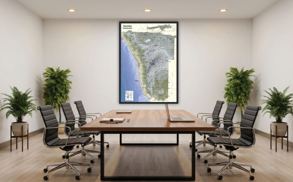
1 : 1,250,000 topographic map of Namibia
See full details here.
A contemporary map of Namibia including elevation, roads, towns, regions, parks, rivers, islands, mountains and more. The map scale is 1 : 1.25 million (i.e. 1 cm represents 12.5 km).
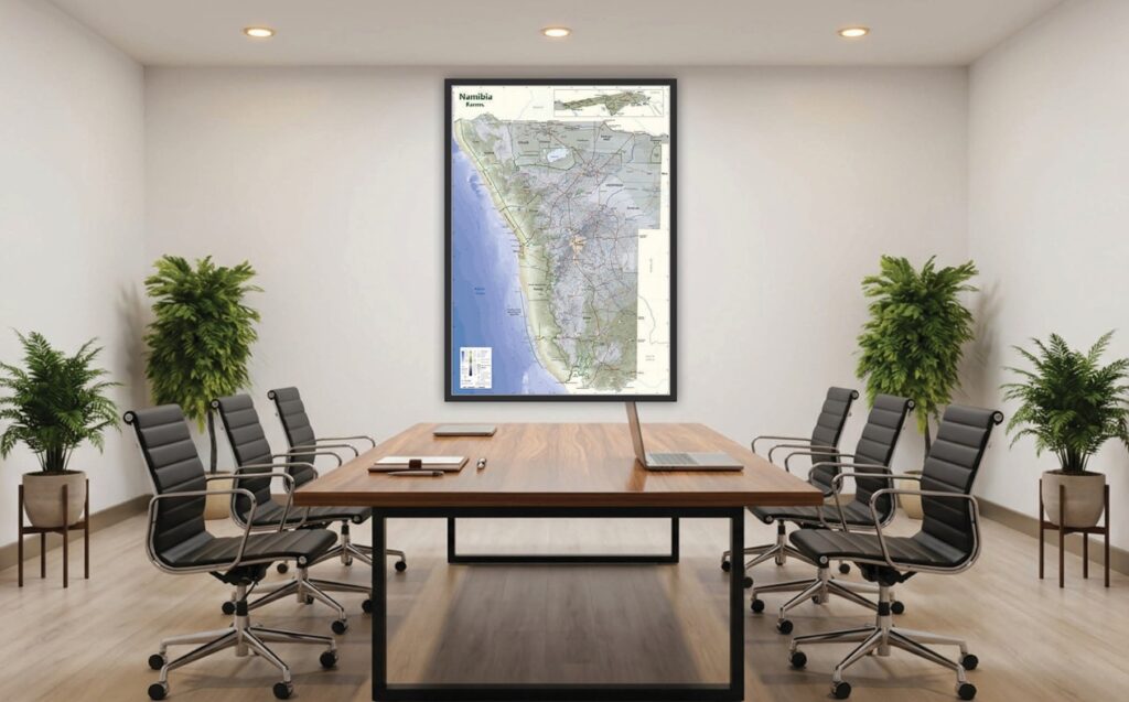
1 : 1,250,000 farms map of Namibia
See full details here.
A contemporary map of Namibia showing farm boundaries and names, and including elevation, roads, towns, regions, parks, rivers, islands and more. The map scale is 1 : 1.25 million (i.e. 1 cm represents 12.5 km).
We also have high-resolution historical maps of Africa created by Jaro Consultancy by combining features and labels from original historical maps with a customised modern Digital Terrain Model in a GIS. Available for 1886, 1922, 1967. See full details here.